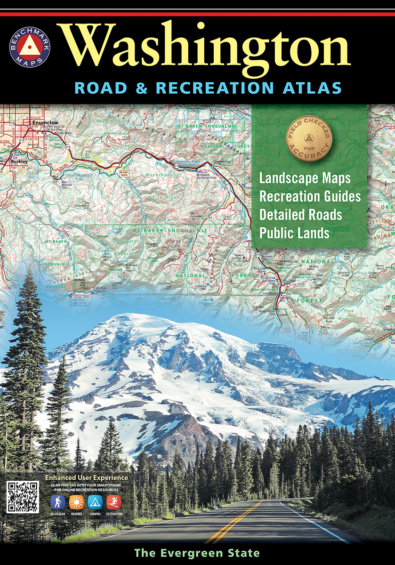
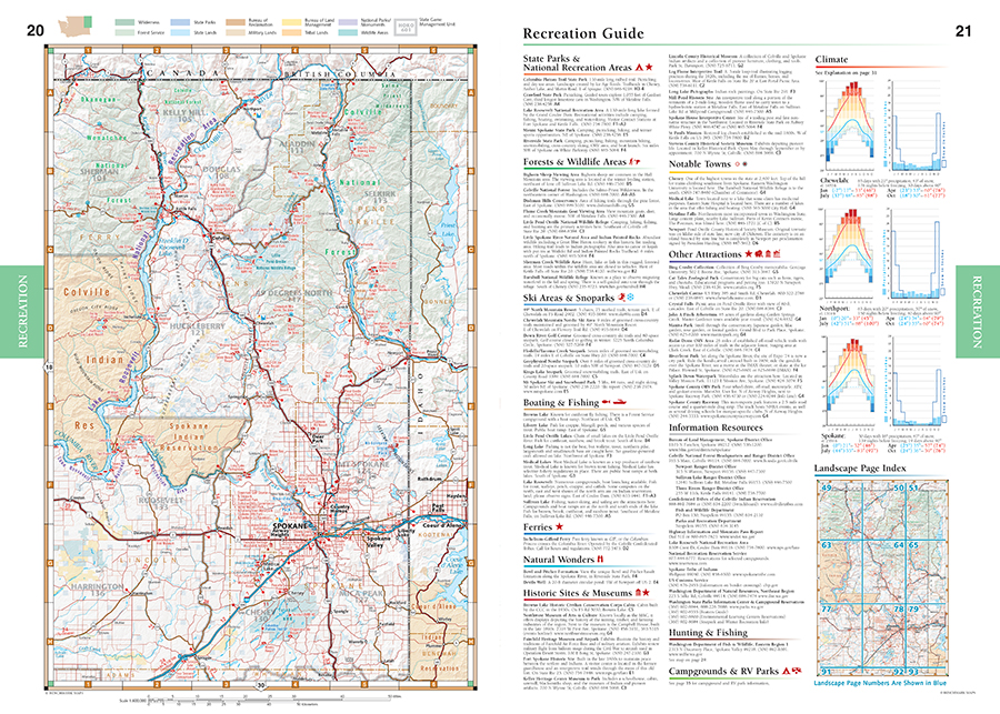
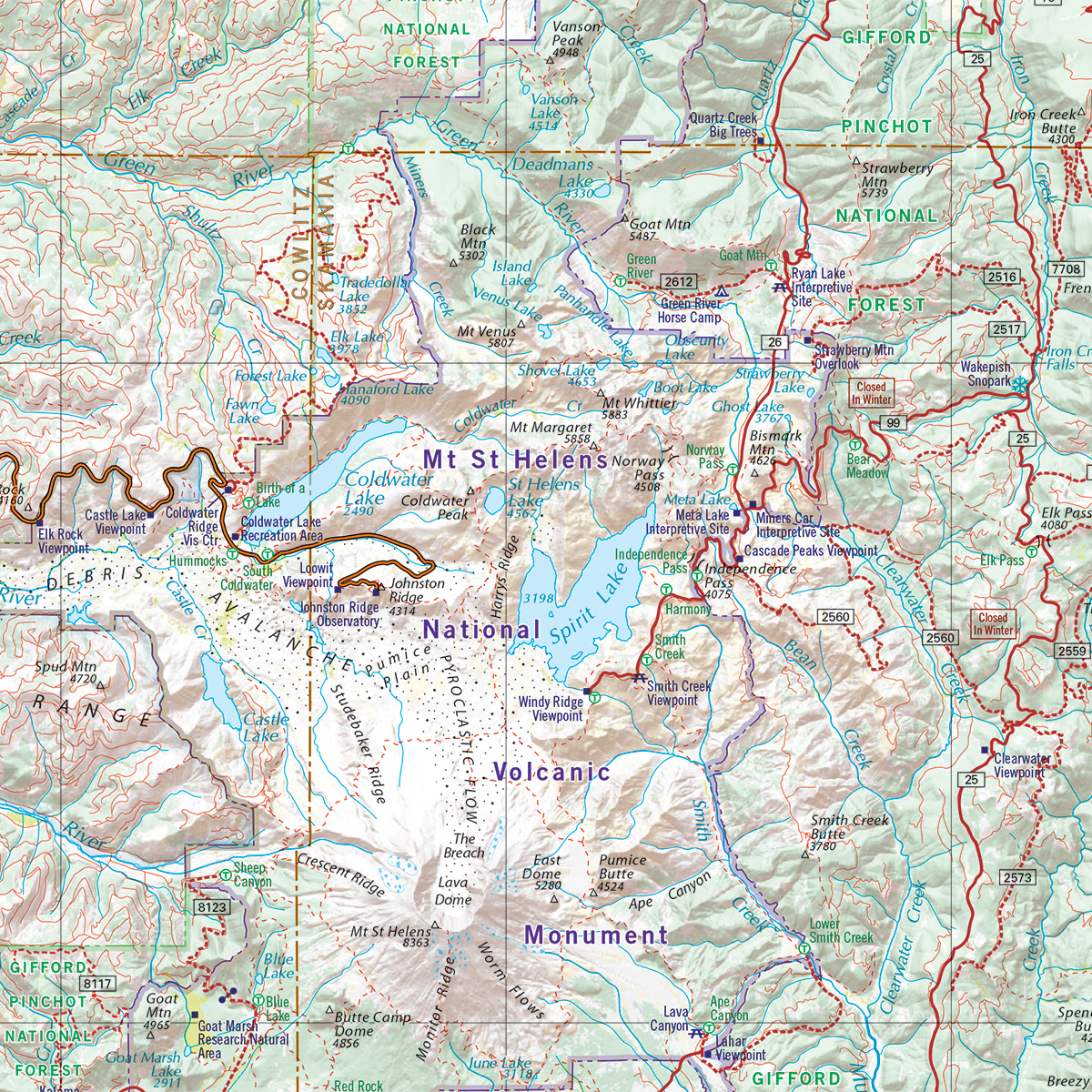
First impressions of Washington – The Evergreen State – are those of verdant foliage, huge trees, and luxurious greenness. Its lasting impressions though, are of proud, snow-capped mountains, frosty-jade rivers, sapphire lakes, and wonderful scenic panoramas. Benchmark’s Washington Road & Recreation Atlas is the one guide needed to explore every corner of this magnificent state. Field-checked Landscape Maps™ show complete road detail, classed by use and surface, and the updated Recreation Guide has several recreation categories organized by region including the following: Wilderness, Forest Service, State Parks, State Lands, Bureau of Reclamation, Military lands, BLM, Tribal lands, National parks and monuments, Wilderness areas and State game management units.
Dimensions: 16″ x 11″. 128 pages. 10th Edition, 2022. ISBN 9781734315011
Map Scales:
- Recreation Maps 1: 600,000 1″ =9.5 miles
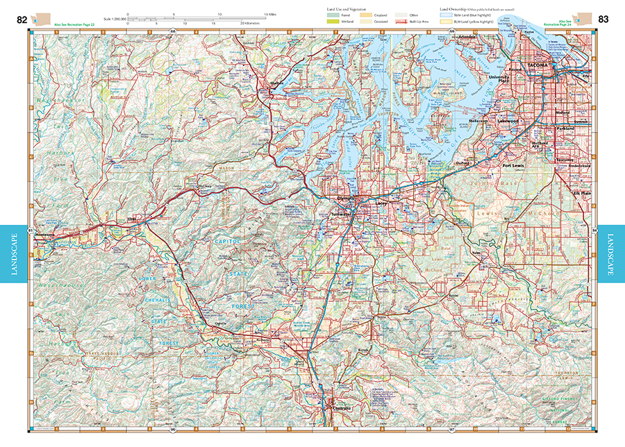
- Landscape Maps 1:200,000 1″ =3.2 miles
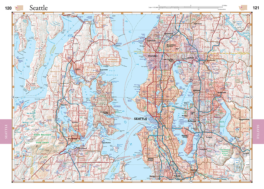
- Metro Maps 1:133,000 1″ =2.1 miles
New features include:
- Updated Public Land Boundaries: BLM, State, and US Forest Service
- Updated PCT and added Pacific Northwest Trail
- Recolored trails & ferry routes, updated glacier styles
- Lewis & Clark campsites labeled with dates
- Researched road washouts
- Updated city limits on Metro Maps
- Hundreds of edits from compiled data and recent field-checking
Benchmark Maps can be found at fine retailers including:
![]()
![]()
![]()
![]()
![]()
![]()


