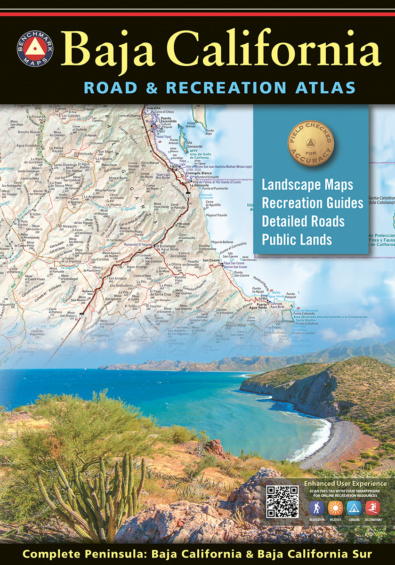
The new 2nd edition Baja California Road & Recreation Atlas showcases the diverse recreation opportunities found along the full length of the Baja California Peninsula. State maps illustrate and describe both states, Baja California & Baja California Sur. Regional maps provide a wider view of the region and Recreation Guides list an array of attractions for trip planning. Landscape Maps™ provide the most detail, bringing the peninsula’s rugged terrain into focus with land cover data, shaded relief, and a detailed road network to aid travelers navigating between cities or seeking remote destinations.
What’s New: More ways to explore Baja!
2nd Edition features various revisions to road details and points of interest throughout the peninsula. Selected updates include San Felipe municipality, Puerto Nuevo, Cuatro Casas Hostel, Chenowth Legacy Lodge, Campos Sahuaro, La Joya, Delicias, Natural Arch, Cardón Forest, Ram’s Head choke point, Canyons Oso, Toledo, Tulare, La Providencia, Agua Amarga route, KM markers, dirt roads, beach roads, and more!
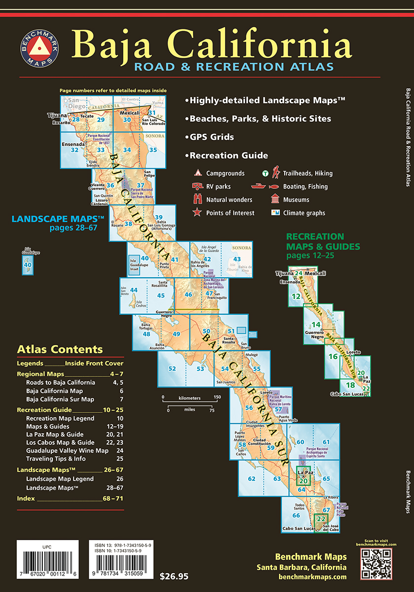
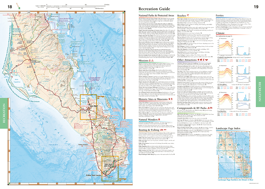
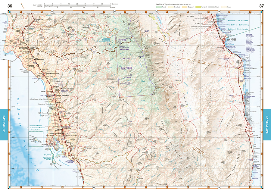
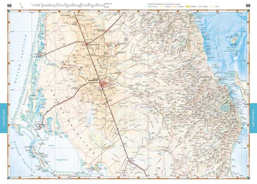
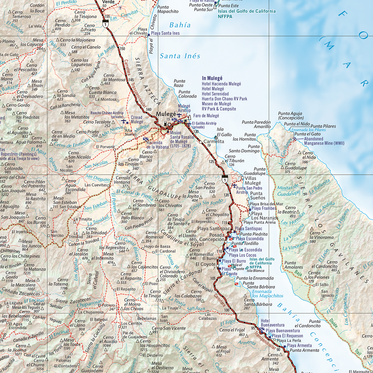
Landscape Maps
- Large-scale maps with detailed road classifications, points of interest, landmarks, elevations
- Kilometer markers on major highways
- Page-to-page map overlap, clear legibility
- National Parks and Wildlife Areas
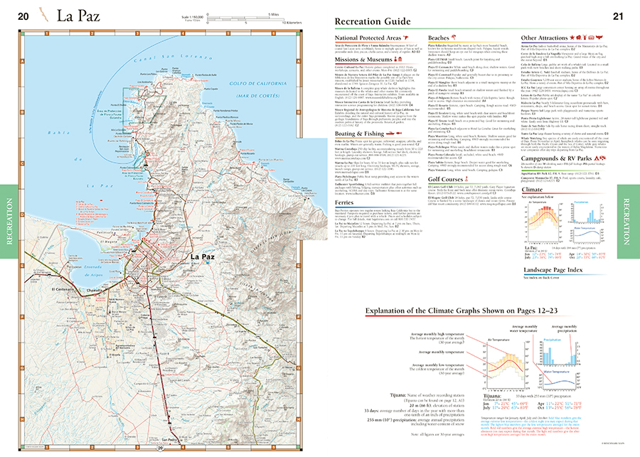
Recreation Guides
- Regional maps at medium scale illustrate broader views and longer routes
- Focused maps & listings for La Paz, Los Cabos Corridor, and wineries of Valle de Guadalupe
- Recreation categories include:
- Parks, Monuments, Natural Wonders
- Boating & Fishing Access, Beaches
- Historic Missions & Ruins
- Campgrounds & RV Parks
2nd edition, 2024. ISBN 9781734315059
Map Scales:
- Landscape Maps 1:300,000
- Recreation Maps 1:1,000,000
- La Paz & Los Cabos Recreation Maps 1:150,000
*Benchmark Maps extends a special thank you to David Kier for his invaluable editorial assistance. Kier’s seminal book Baja California Land of Missions is an essential resource for anyone wanting to learn and explore the history of Baja California’s Spanish Missions. Learn more at www.vivabaja.com.
Learn more about Benchmark’s Baja California atlas project in this episode of the Slow Baja podcast.