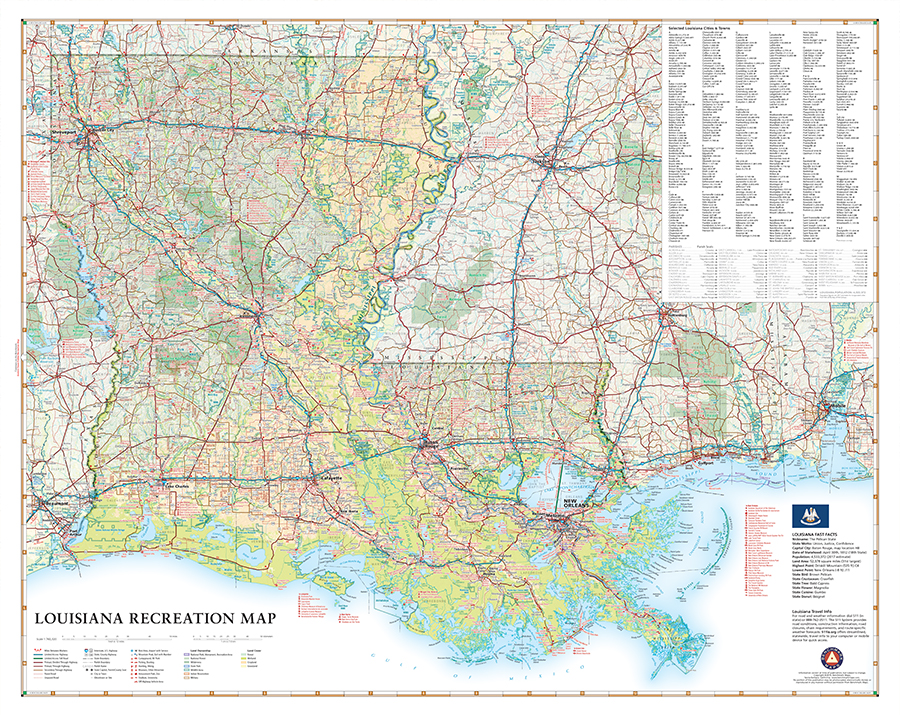
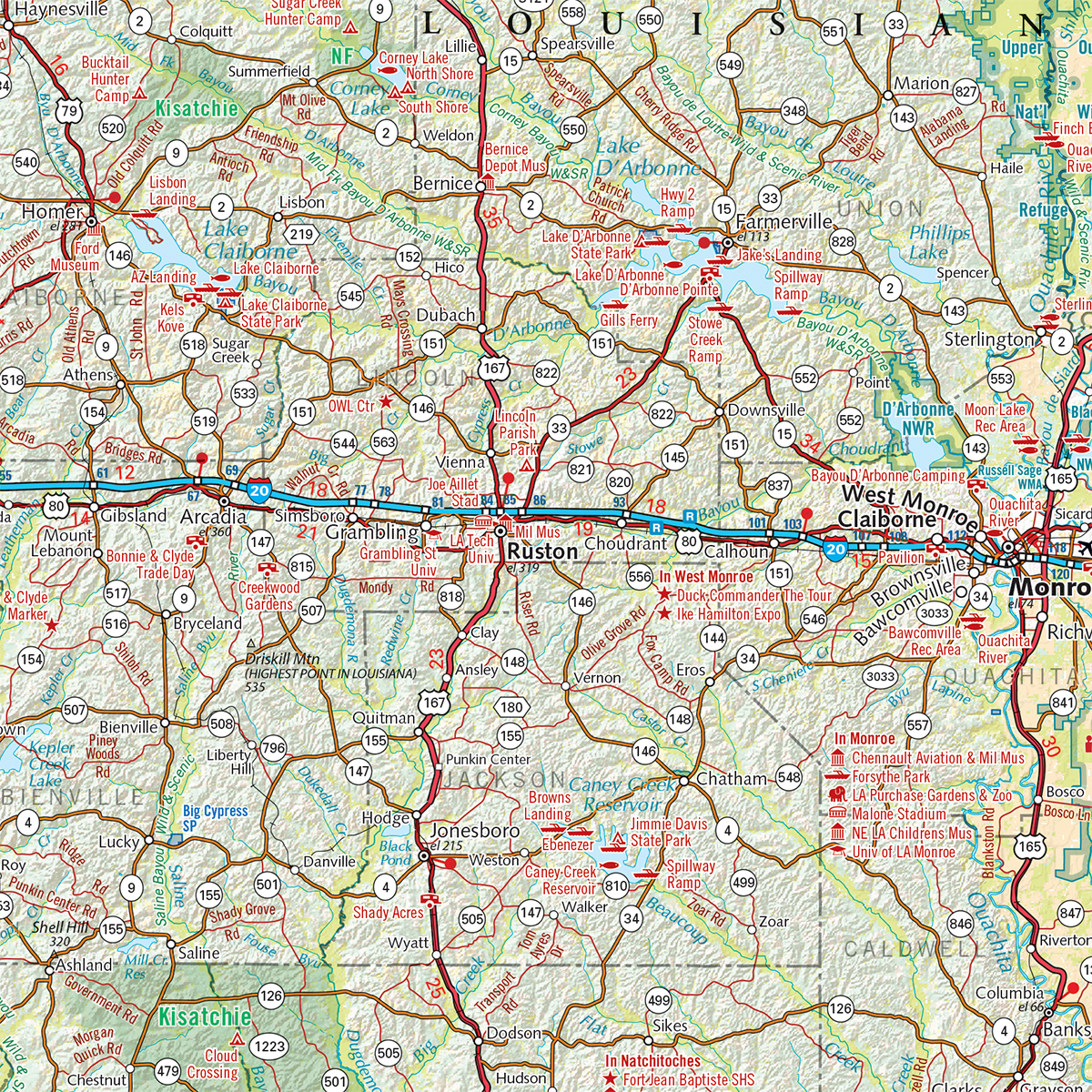
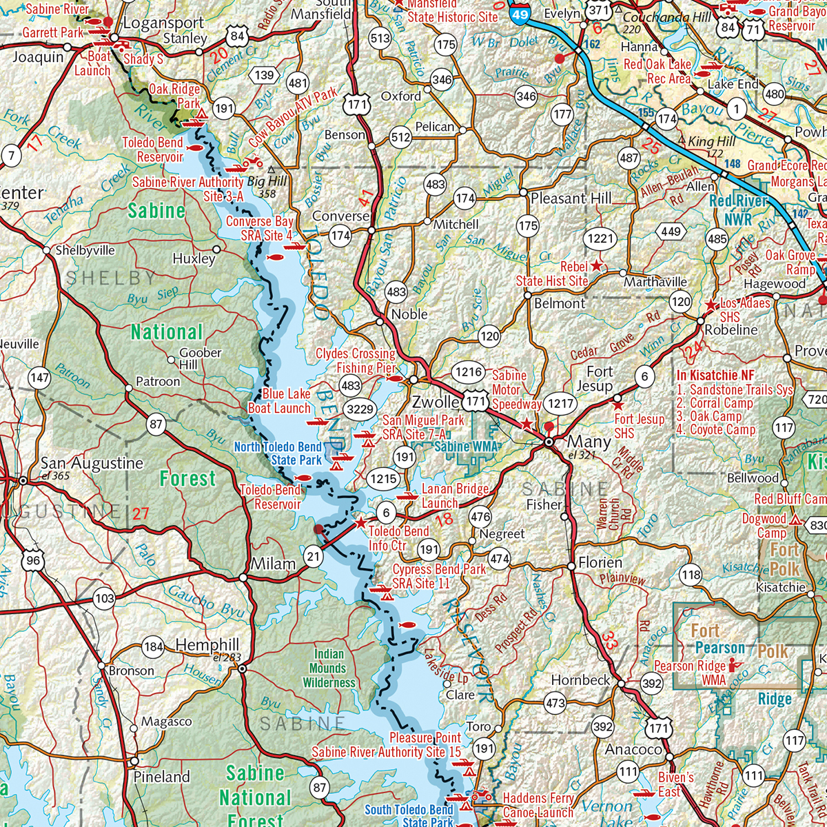
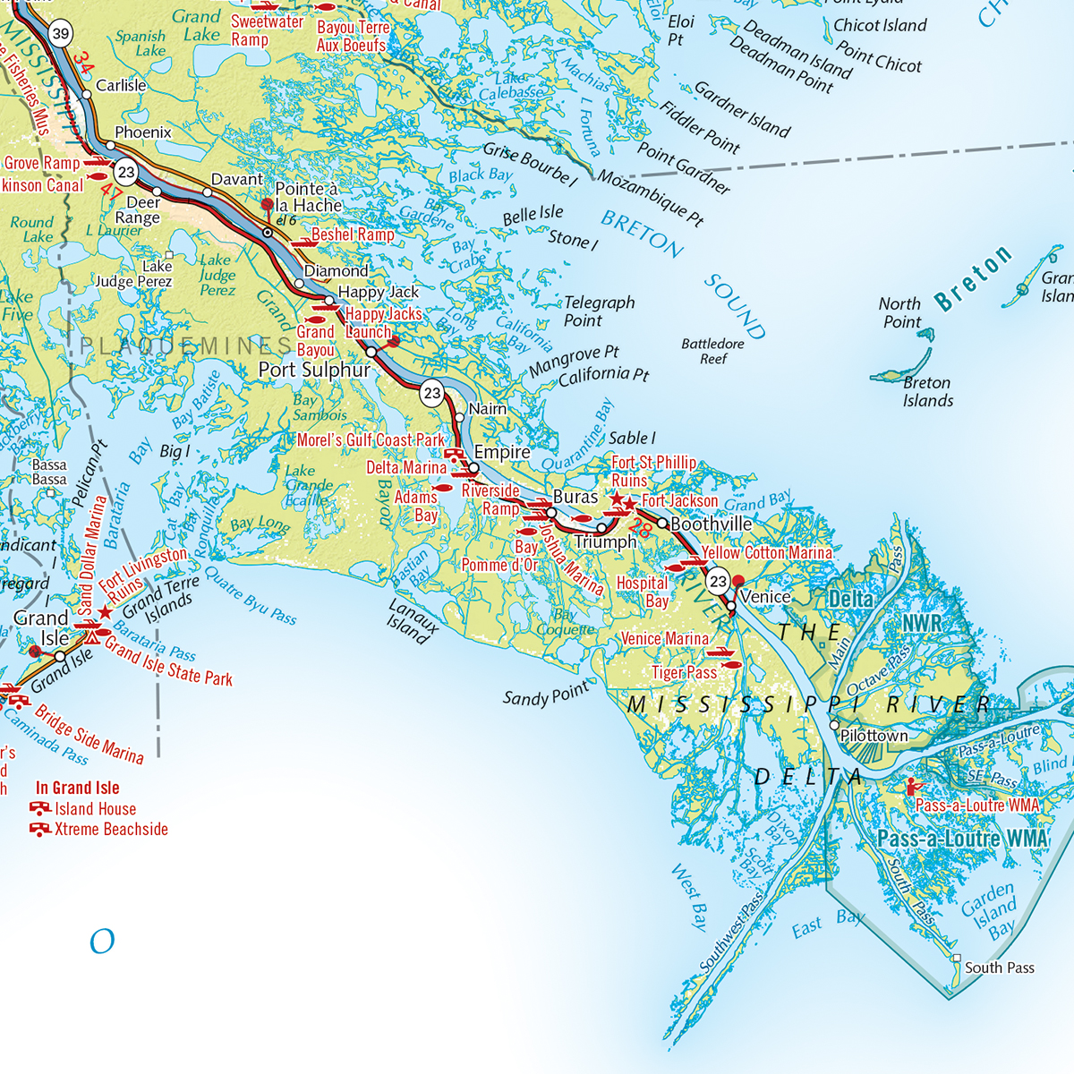
This new wall map highlights Louisiana’s vast road network and wealth of recreation opportunities, from the northern Piney Hills to the brackish swamps of the Atchafalaya Basin. Features include public lands, parks & monuments, historic sites, boating & fishing access, hunting areas, campgrounds, point-to-point distances, and more.
Dimensions: 33″ w x 26″ h
Also available as a digital download in Avenza Maps app for iOS & Android mobile devices: Digital Louisiana Recreation Map


