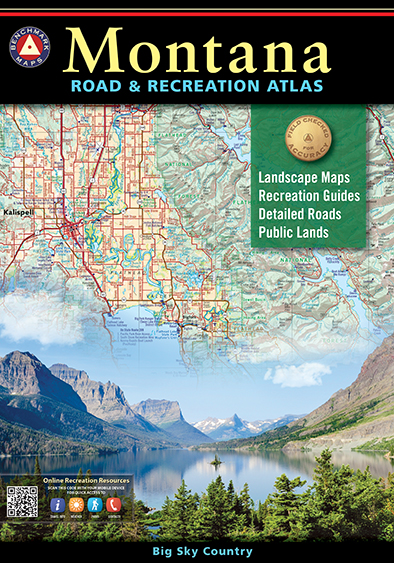
Benchmark field-checkers drove thousands of miles to make sure the Montana Road & Recreation Atlas is the most accurate, comprehensive, and reliable map product ever published for Big Sky Country.
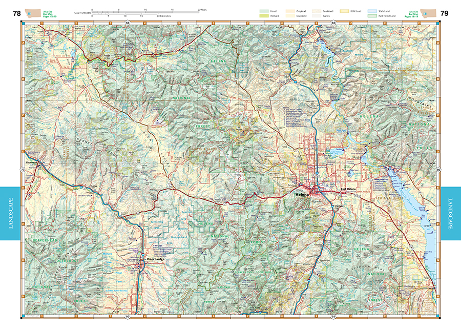
Landscape Maps™
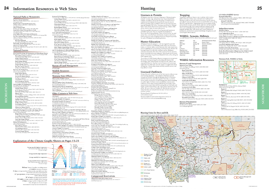
- NEW Hunting Units by Montana Fish, Wildlife & Parks
- NEW State/BLM map detail and boundaries for USFS private inholdings
- Extensive road detail, field-checked for accuracy
- Superior scales and page-to-page map overlap
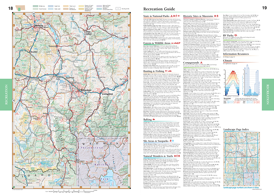
Recreation Guide
- Regional maps with public land ownership, hunting units, and point-to-point mileages
- Categorized listings for:
- National Parks & Monuments
- State Parks & Recreation Areas
- Historic Sites & Museums
- Camping, Cabins, & RV Parks
- Fishing & Boating Access
- Statewide Hunting Regions & Units
Dimensions: 16″ x 11″. 128 pages. 6th Edition, 2024. Saddle-stitched; ISBN 9781734315073
Map Scales:
- Recreation Maps 1:800,000 1″ = 12.6 miles.
- Landscape Maps 1:250,000 1″ = 4 miles.
Benchmark Maps can be found at fine retailers including:
![]()
![]()
![]()
![]()
![]()
![]()
![]()


