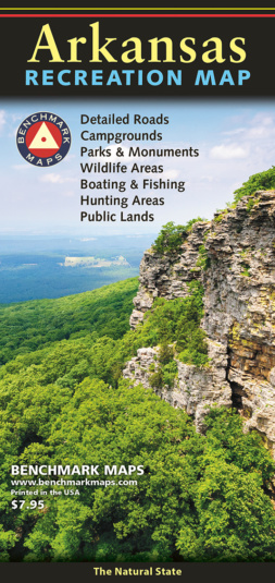
Our newest Recreation Map focuses on the Natural State. From the Ozarks & Ouachita Mountains to the densely forested Timberlands and the Delta Lowlands, Arkansas contains a wealth of diverse terrain, wildlife, and public recreation opportunities.
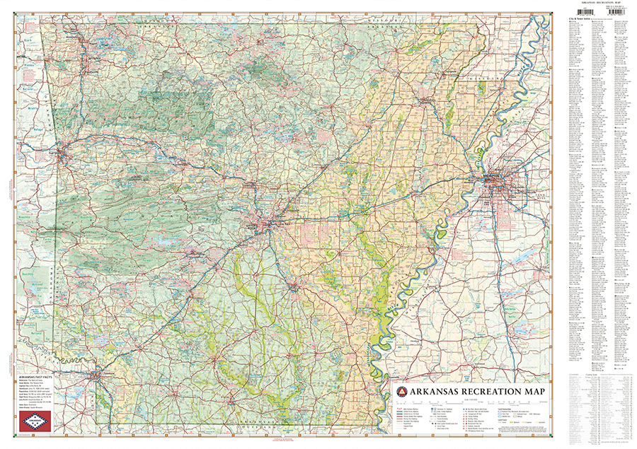
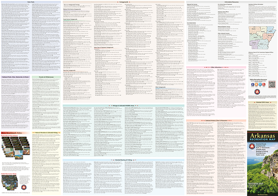
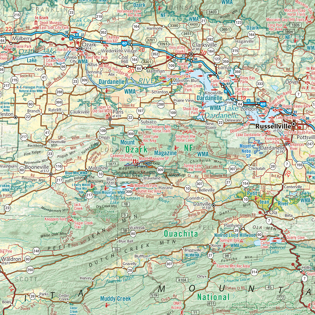
This map highlights Arkansas’s vast network of highways and byways. It features public land access, state parks, extensive road detail, point-to-point mileages, and a recreation guide with parks & wildlife areas, unique attractions, campgrounds, boating & fishing access points, and more.
Also available as a digital download in the Avenza Maps app and as a printed wall map from our cartography studio in Oregon.
ISBN: 9780783499277
Cover: 4.25″ x 9″ Sheet: 38.25″ x 27″
Map Scale 1:633,600


