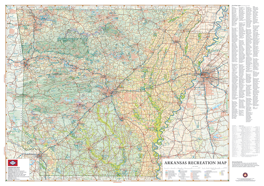
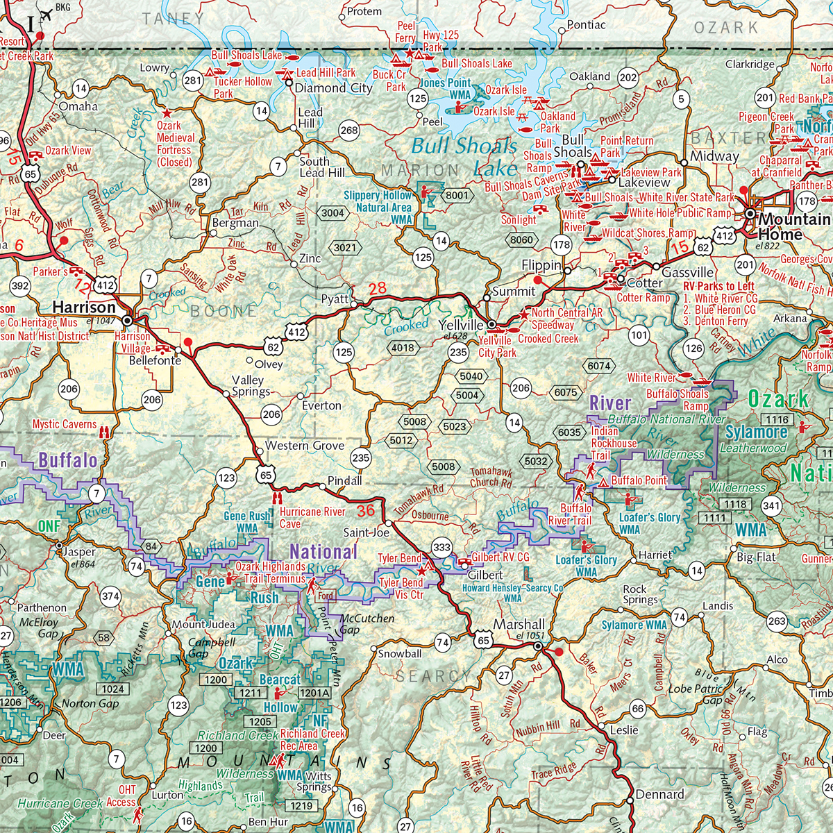
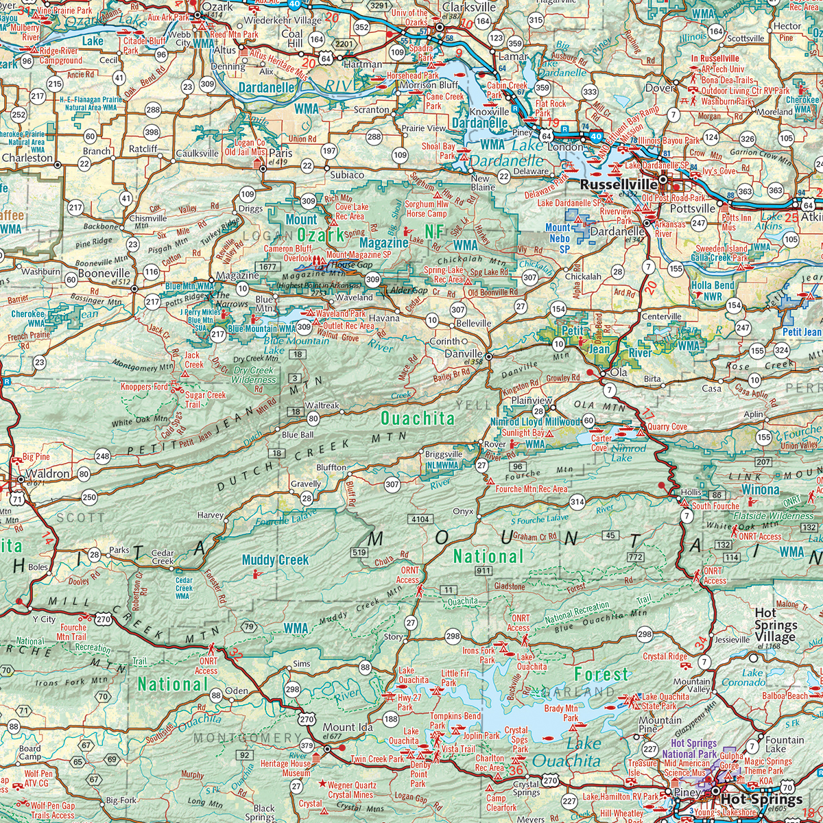
From the Ozarks & Ouachita Mountains to the densely forested Timberlands to the Delta Lowlands, Arkansas contains a wealth of diverse terrain, wildlife, and public recreation opportunities. This wall map highlights Arkansas’s vast network of highways and byways. It features public land access, state parks, extensive road detail, point-to-point mileages, recreation attractions, campgrounds, parks and wildlife areas, fishing access points, hunting areas, and more.
Dimensions: 37″ h x 26″ w
Also available as a digital download in Avenza Maps app for iOS & Android mobile devices: Digital Arkansas Recreation Map


