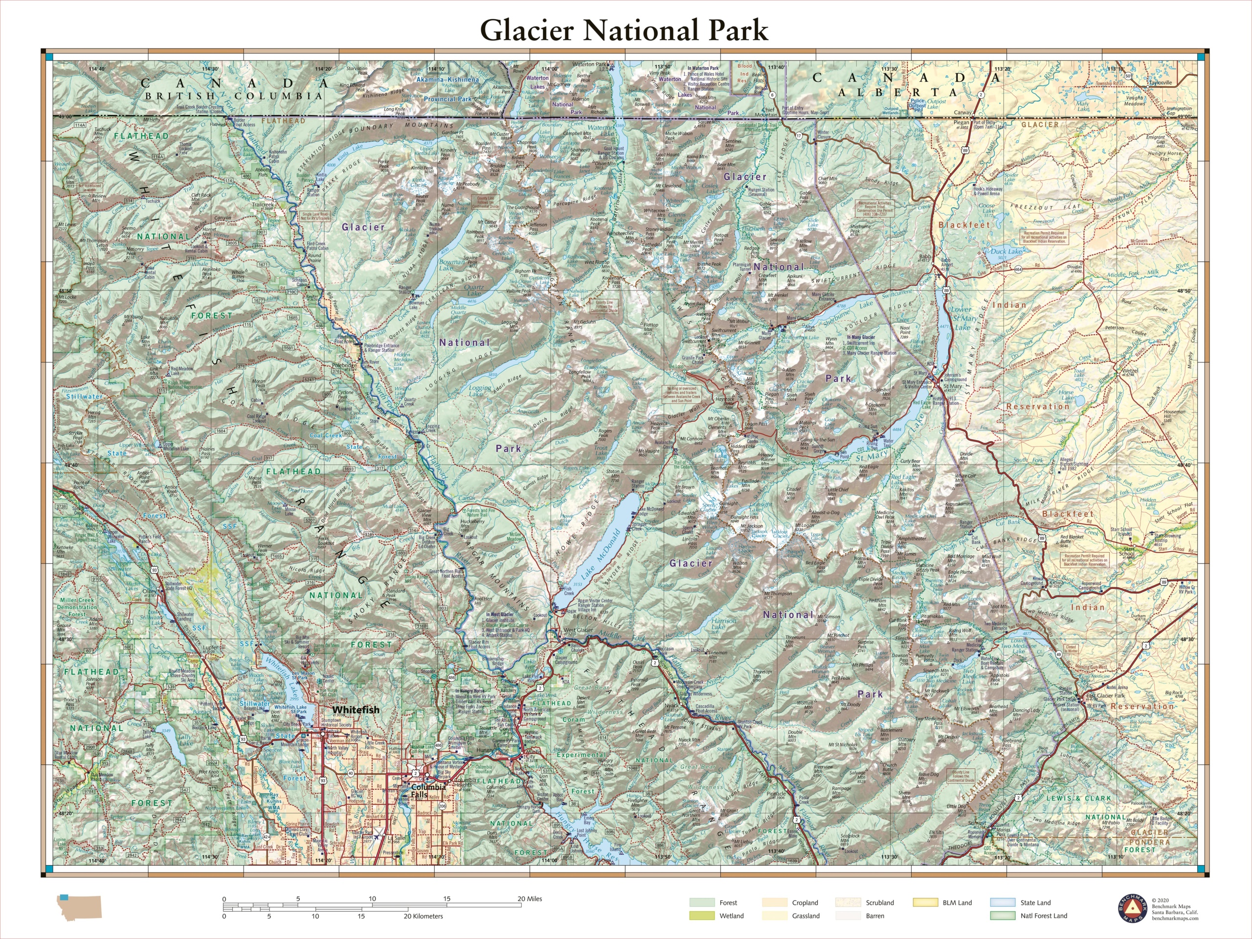
This 40″ x 30″ wall map details the rugged landscapes of Glacier National Park, the crown jewel of Montana’s Rocky Mountains. Map features include public land ownership, recreation points of interest, campgrounds, peak and river names, and the network of highways and back roads that provide access to this stunning mountainous region at the U.S. – Canada border.
Each wall map is individually printed on high quality semi-matte photo paper, then rolled and shipped in a tube from our cartography hub in Medford, Oregon.


