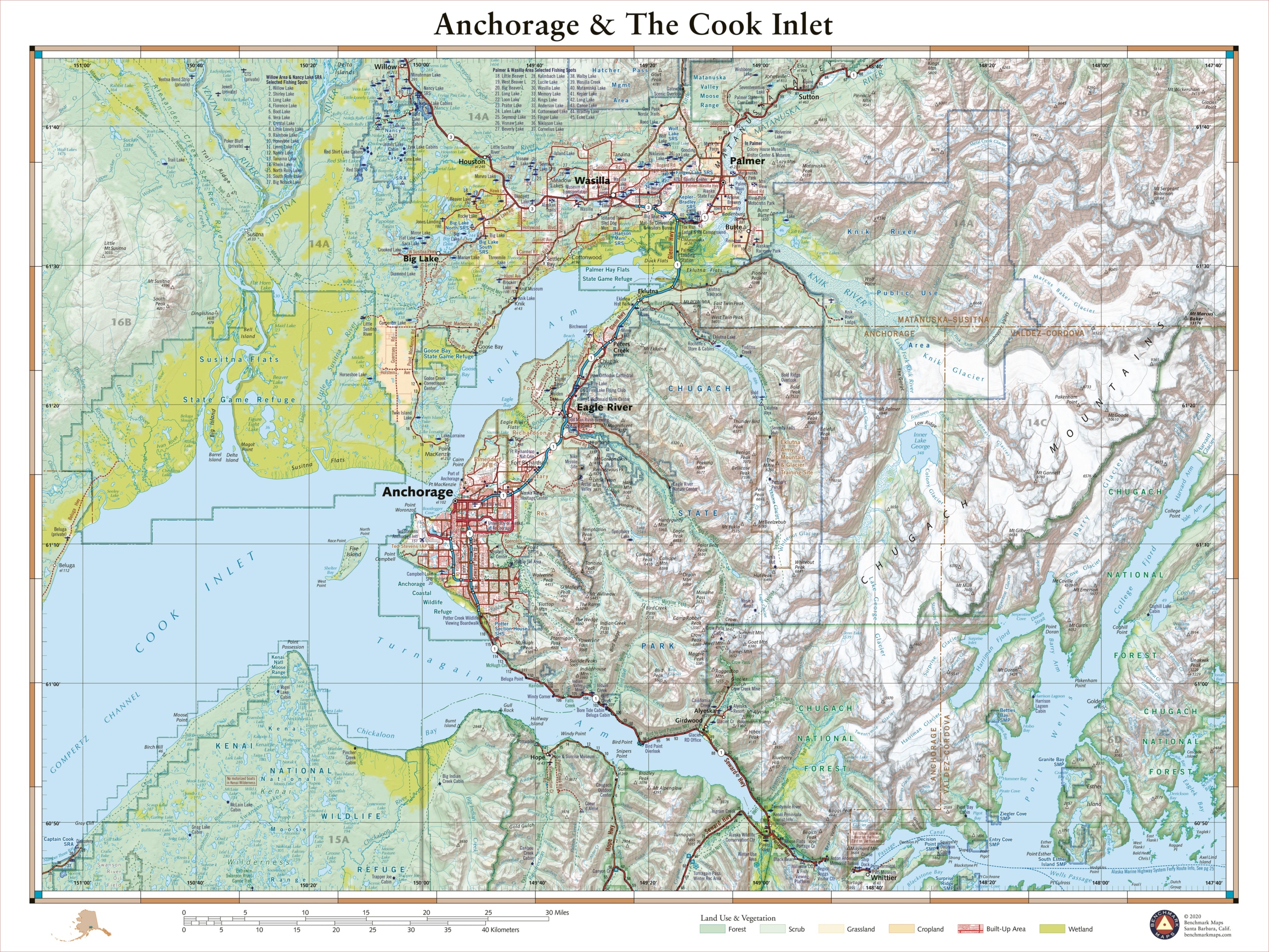
This 40″ x 30″ wall map details the terrain in Alaska’s most populated area. Coverage includes Anchorage, Palmer, Wasilla, the Knik & Turnagain Arms of Cook Inlet, peaks and glaciers of the Chugach Mountains, the fjords of Port Wells and the western reaches of Prince William Sound.
Each wall map is individually printed on high quality semi-matte photo paper, then rolled and shipped in a tube from our cartography hub in Medford, Oregon.


