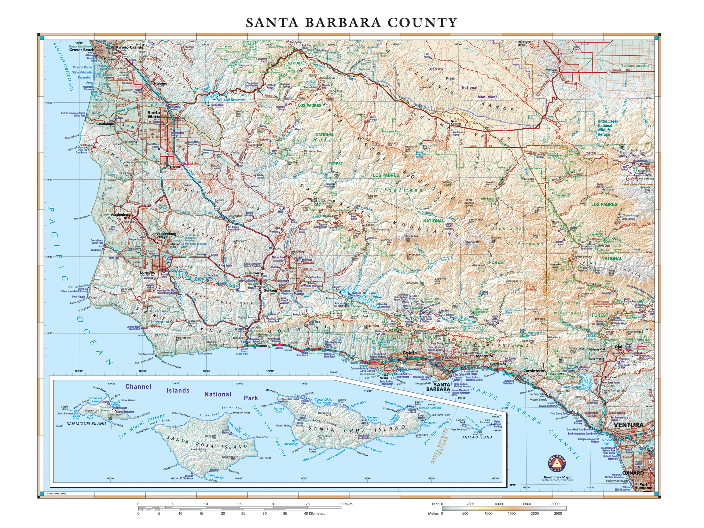
Santa Barbara County is an area of diverse geology and ecology, marking the transition between northern and southern California. Much but not all of the natural coastal area and habitats have been protected from development, save a few ranches. And nearly 25,000 additional acres of pristine California coastline will now be protected indefinitely, thanks to a recent $165 million donation to The Nature Conservancy by Jack & Laura Dangermond, co-founders of Esri, the GIS software & solutions giant. This area, adjacent to the Los Padres National Forest, will now serve as a nature preserve and scientific laboratory for the University of California – Santa Barbara. Click here to read more about the new preserve.
This map’s dimensions are 24″ x 32″. It is built from our award-winning California Road & Recreation Atlas, with hypsometric tints to highlight elevation. Each map is individually printed on high quality semi-matte photo paper, hand-trimmed, and shipped from our cartography offices in Medford, Oregon. Large format and laminated options are available by request.


