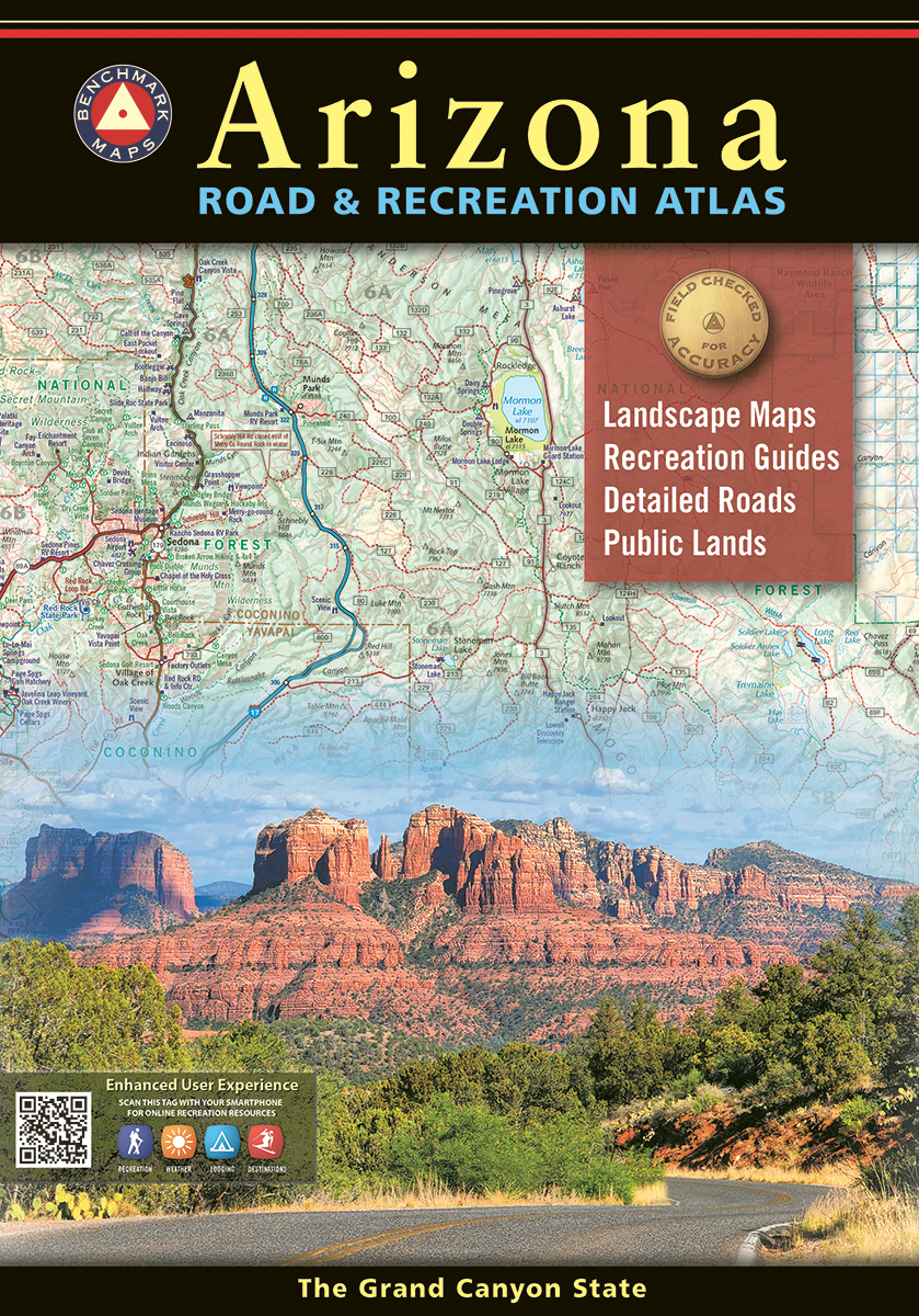
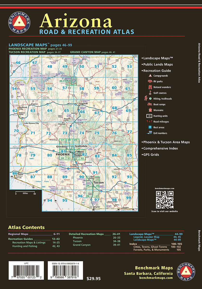

The Grand Canyon State abounds in natural beauty and outdoor recreation possibilities. Completely reworked with new Landscape Maps™ and a comprehensive Recreation Guide, our Arizona Road and Recreation Atlas is an invaluable resource for adventure planning and exploration.
Landscape Maps
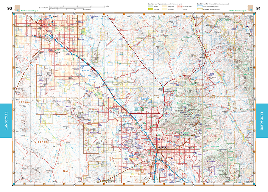
- National Forest land ownership (private in-holdings) are shown in addition to forest boundaries
- Updated road conditions compiled from annual Motor-Vehicle Use (MVU) data by US Forest Service
- BLM/State land ownership
- Page to page map overlap, clear legibility
Recreation Guide
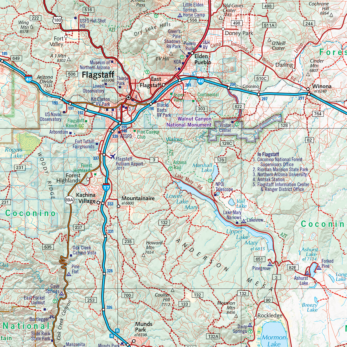
- Public Lands maps are completely updated with recreation access and point-to-point mileages
- Recreation listings are current and fact-checked
- Categorized listings include:
- Parks, Monuments, Natural Wonders
- Campgrounds & RV Parks
- Boating & Fishing Access
- Forest & Wildlife Areas
- Hunting Unit Map with Info Resources
13th edition, 2024. ISBN 9798986387918
Map Scales:
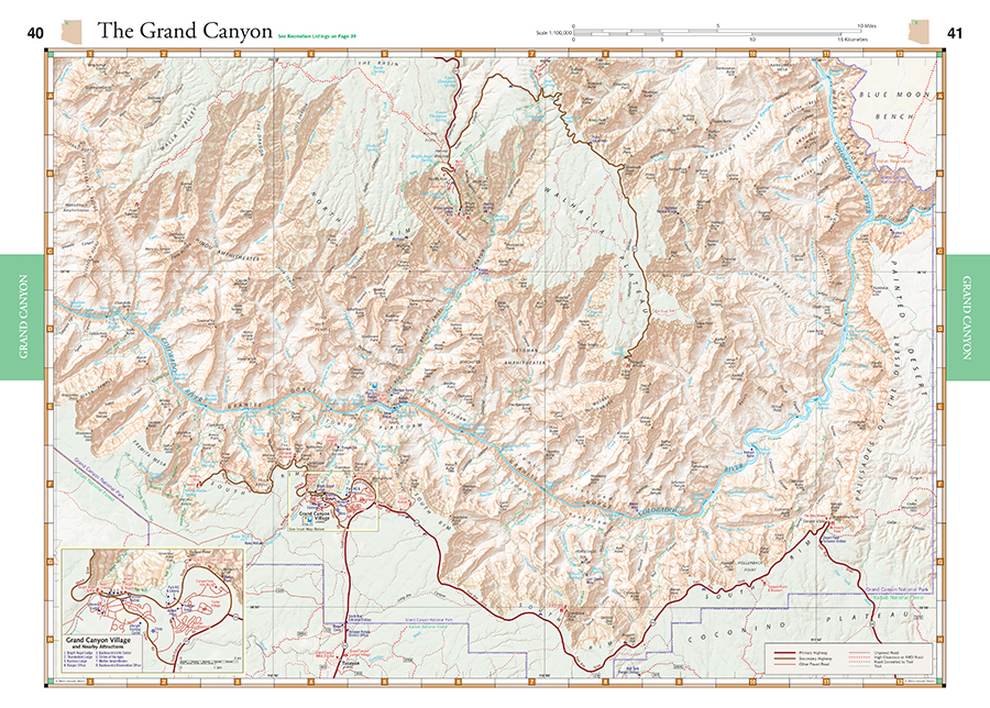
- Recreation Maps 1:1,000,000
- Landscape Maps 1:285,000
- Metro Maps 1:125,000
Watch the video below for an introduction to the Arizona Road & Recreation Atlas!
Benchmark Maps can be found at fine retailers including:
![]()
![]()
![]()
![]()
![]()
![]()